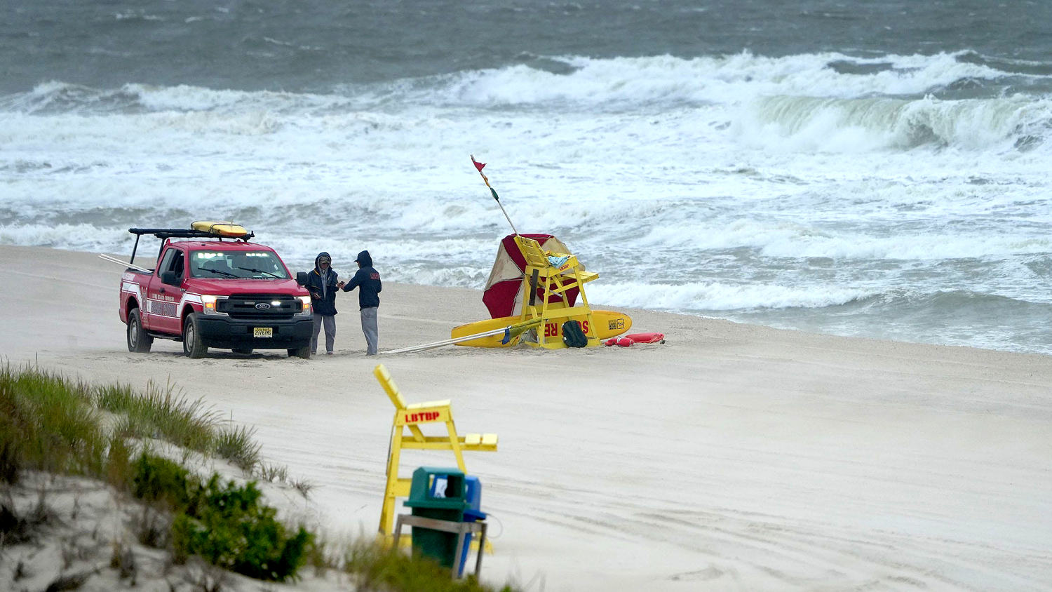
Hurricane Erin is expected to grow as it moves over the Atlantic through the week, causing dangerous rip currents, heavy rain and strong winds along the East Coast.
The storm dropped to a Category 2 on Tuesday morning, but it still packs a powerful punch. Hurricane-force winds are forecast to extend outward up to 80 miles from the center, the National Hurricane Center said in an 8 a.m. Tuesday advisory. Tropical-storm force winds are expected to extend outward up to 205 miles.
Dangerous rip currents are expected along East Coast beaches. In Wrightsville Beach, North Carolina, a no-swimming advisory is in effect until Friday due to strong rip currents and large swells, officials said.
Wrightsville Beach Ocean Rescue had about 70 rip current rescues on Monday, NBC affiliate WECT of Wilmington reported.
“These swells are producing powerful rip currents that can create extremely hazardous swimming conditions,” Ocean Rescue Director Sam Proffitt said in a statement. “The safety of our beachgoers is always our top priority, and we urge everyone to follow this advisory.”
Other coastal towns, including Rehoboth Beach, Delaware, and Wildwood, New Jersey, issued similar advisories.
Heavy rainfall is also forecast for Wednesday night into Thursday on the Outer Banks of North Carolina, where evacuations have already been ordered.
As of Tuesday morning, the hurricane was about 720 miles south-southeast of Cape Hatteras, North Carolina, with maximum sustained winds of 110 mph. Fluctuations in strength are possible over the next few days, the hurricane center said. Erin is currently moving at 7 mph.
The center of the hurricane is expected to pass to the east of the Bahamas on Tuesday and then move over the western Atlantic between the East Coast and Bermuda on Wednesday and Thursday.

